Restoration: PHASE 4 DETAILS
TIMING: August 2021 to December 2022
FUNDING FOR THIS PHASE INCLUDED:
- Donations from SPLPS members/supporters
- Island Community Economic Trust grant (Economic Infrastructure and Innovation Program)
- Parks Canada grant (National Cost-Sharing Program for Heritage Places)
- Westaway Charitable Foundation — donation
Interpretive Centre / Visitor's Centre
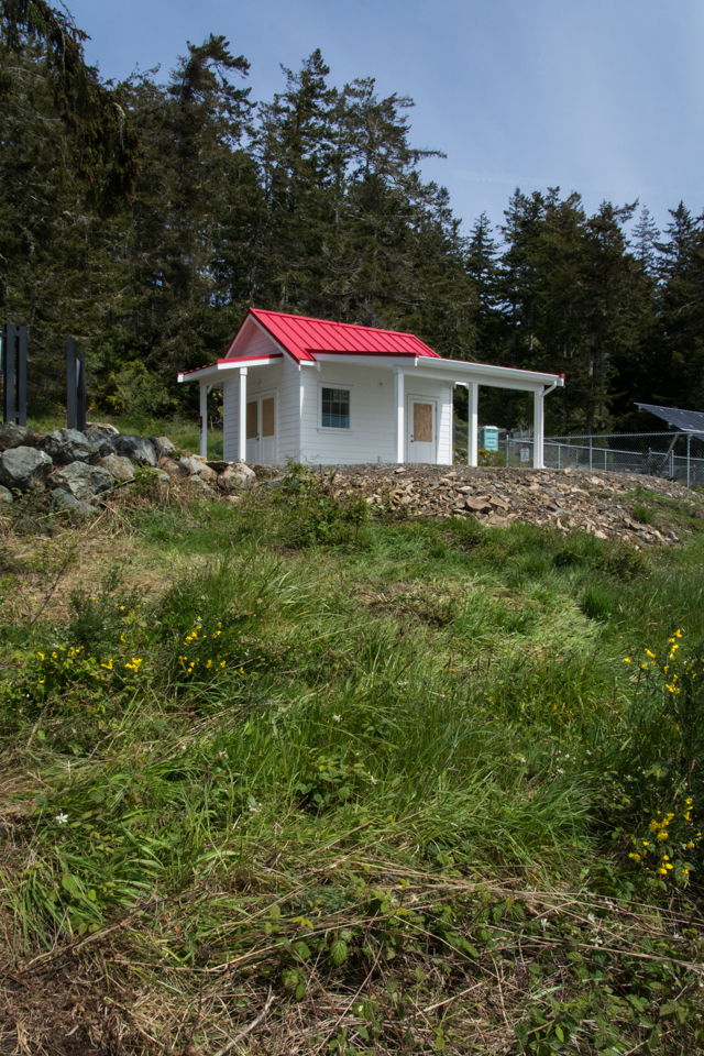
RATIONALE AND HERITAGE CONTEXT: Shortly after the Society took on responsibility for looking after the Heritage Lighthouse site, it also began to acquire some key artifacts with provenance to the site. In particular, the original Fresnel lens and the diaphone fog-horn, which had been in storage at the Sooke Region Museum, were repatriated to the site. As part of its mandate to “tell the story” of the lighthouse, the Society wanted to make these artifacts available to the public, but there was nowhere on site where that could be done effectively. Accordingly, the decision was made to build a small Interpretive Centre – that could also work as a Visitors’ Centre – to house the artifacts (and potentially other materials) and provide an opportunity for more in-depth interpretation of the Lighthouse and the site.
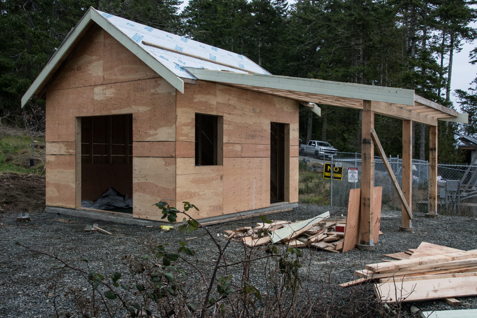
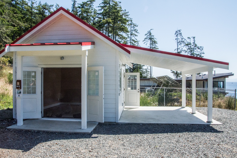
ACTIONS TAKEN: Following consultations with site users, museum professionals and others, a concept for the building and display of artifacts was developed, and a location was chosen (outside of the heritage precinct, in the support zone) for the building to be sited. Design plans for the building were drafted by Vivi Curutchet (of Shirley, BC). It was intended that the building be small (approximately 12 ft by 16 ft), and that its appearance would reflect that of earlier wooden buildings on the site (in particular the boat house and fog-alarm building). It would be a single room facility, with double doors for access. It would also have a covered outside display area, of approximately the same dimensions.
The site was cleared by 4M Bobcat and Trucking, and the building constructed by Clarkson Construction. Shirley Electric provided the power feed to the building and installed the wiring and electrical fixtures.
REPATRIATING KEY ARTIFACTS...
RATIONALE AND HERITAGE CONTEXT: Since the Lighthouse site was transferred to the Society in 2015, a number of key artifacts have also come into the Society’s possession and care — in particular, the original (ca 1912) Fresnel Lens and the original diaphone foghorn apparatus (ca 1925). These artifacts had been previously donated to the Sooke Region Museum by the Canadian Coast Guard (specifically by Jim Bruton), and were transferred by the museum to the society on a permanent loan. Those items were in storage for many years, until the construction of the Interpretive Centre at the Lighthouse provided an opportunity for them to be repatriated to the lighthouse site, put on display and made available for the public to see up close. This is a key element of the Society’s mandate for public education, and a wonderful way to tell the story of the lighthouse.
Fresnel Lens
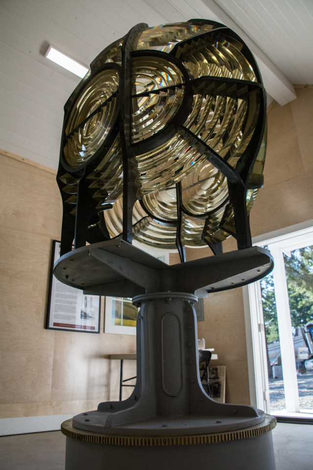
ACTIONS TAKEN: The first task was to develop a plan for how the artifacts would be displayed and interpreted. With respect to the lens, it was intended from the outset that it be the centrepiece of the display area, fully accessible and situated so that it could be viewed from all sides (i.e. in the centre of the room). To display it accurately, an exact replica of the base support in the the lantern room was manufactured (based on measurement of the existing base, along with research from historical photographs). The base was manufactured by Marty Gilbertson of Foggy Mountain Forge.
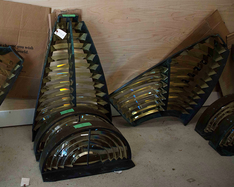
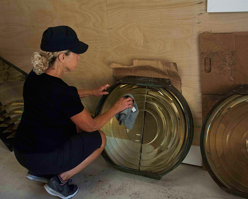
The lens itself had been crated and stored broken down into 19 component sections. Due to the fragility of the glass prisms, it was decided to remove each component from its crate at the storage site, and transport them to the lighthouse site individually. Each component was labelled, examined and documented, and then cleaned to remove accumulated dust and grime from the years of storage. This was done by hand, using microfibre cloths (damp and dry) and compressed air. This work was done by Society volunteers under the guidance of a heritage consultant (Ian Fawcett – Change Canada Consultants).
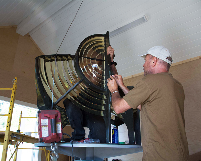
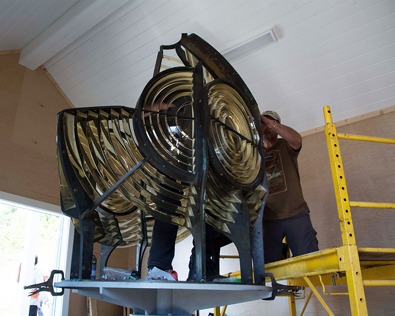
Once cleaned, the components were bolted together, piece by piece. The original nuts and bolts were available, but corroded. Prior to use, the hardware corrosion was removed by immersion in a mild acid solution (vinegar). The re-construction of the lens was completed by Marty Gilbertson (Foggy Mountain Forge), Colin McMechan (Society Volunteer) and Ian Fawcett (Change Canada Consultants).
Diaphone Foghorn
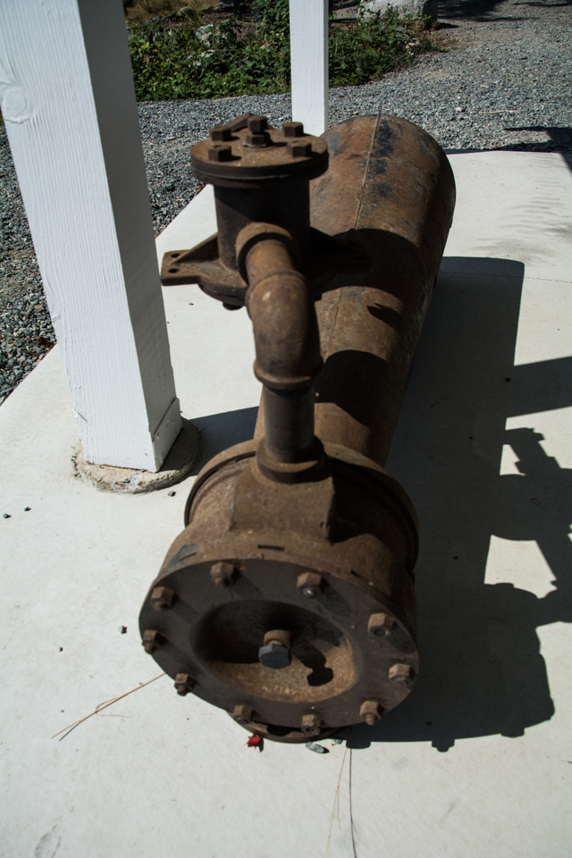
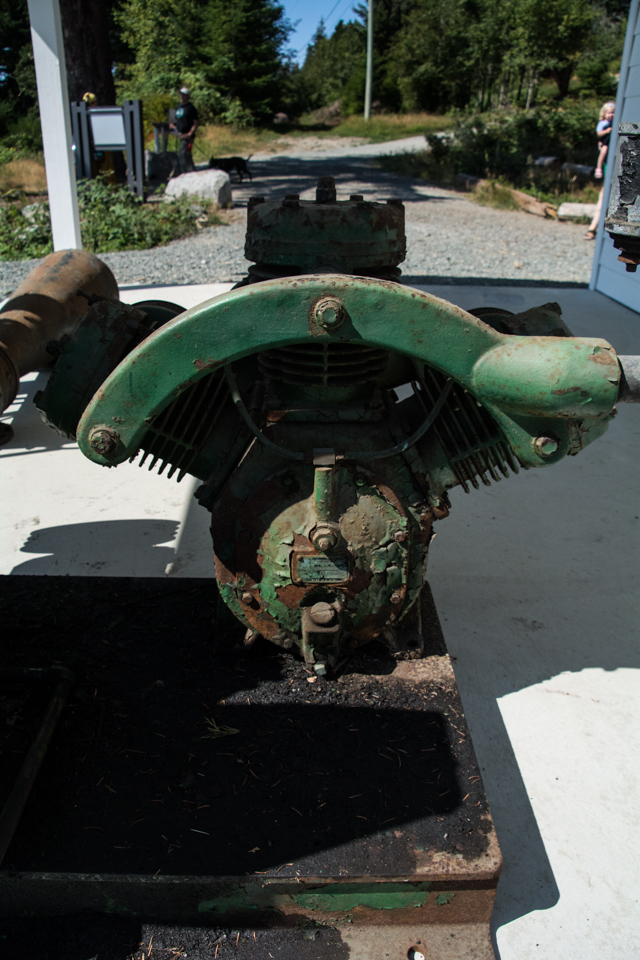
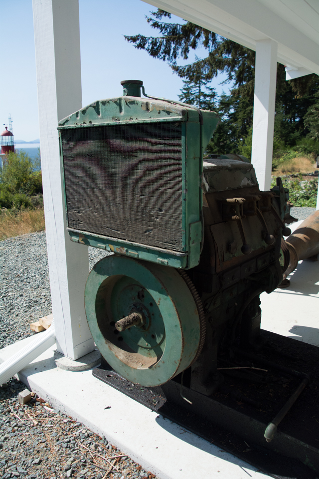
ACTIONS TAKEN: Given the size of the component pieces, it was decided that the foghorn assembly would be displayed in the outdoor covered display area. The components included: the foghorn trumpet (or bell); the Lister diesel engine; the Ingersoll-Rand air compressor; and the compressor tank. In addition two smaller components – the pressure gauge and the mercury switches – were displayed inside the interpretive centre. Due to the size and weight of the components, they had to be transported to the site, and placed in the display area using a crane truck – this was done by Victoria Construction Ltd (of Victoria). The compressor tank had been stored outside for many years, and had a considerable amount of rust. Due to its size, it would not fit in the covered display area, and so was mounted upright on a concrete pad immediately adjacent to the display area (using a crane truck, by Victoria Construction). As it would continue to be exposed to the elements, it was decided that the existing corrosion should be removed (by hand grinding) and the tank repainted. It received both a base coat/sealer to help keep corrosion at bay, and a top coat for protection against weather. As part of its installation in the display, it needed to have the corrosion removed, and be repainted. This work was done by Island Applicators.
Other Artifacts
CROUSE-HINDS DCB36 LENS: During a visit by the Project Manager to the Canadian Coast Guard base in Victoria, a Crouse-Hinds DCB36 lens was pointed out, and indications were that it was, in fact, the lens from Sheringham Point Lighthouse that was removed when the Lighthouse was automated and de-staffed. This lens is now surplus to the Coast Guard’s needs, and discussions have ensued to have it donated back to the Society for display. It is currently undergoing a fairly involved, and lengthy, disposal protocol, and it is hoped that this will be concluded in early 2023. Once repatriated, it will be displayed – once again – in the lantern room at the lighthouse.
WINCH: During the early years of the Lighthouse operations, supplies and equipment were delivered to the Lighthouse by boat – first the SS Quadra, and then the SS Estevan. There was no dock at the Lighthouse, so to unload material from the supply boat, a winch attached to a long boom located on the rocks to the east of the tower was used. The boom has since disappeared, but the winch was salvaged many years later by Sooke boatyard owner Maywell Wickham, and was later acquired by Marty Gilbertson at Foggy Mountain Forge in Shirley. The winch has now been donated back to the Society for display at the Lighthouse site, and has been installed in the display area.
Viewing Platform and Entrance Upgrades
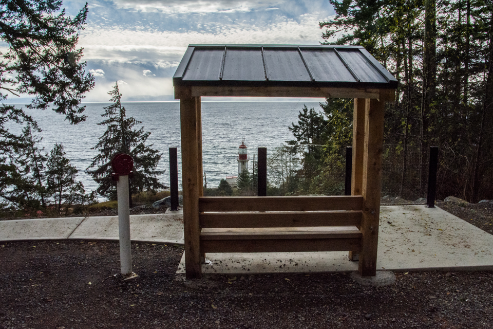
RATIONALE AND HERITAGE CONTEXT: One of the ongoing challenges with opening the Lighthouse site to the public – as a Community Park and as a National Heritage Lighthouse site – is being able to provide access and engagement for people of all abilities. An issue that has been prevalent from the outset is that, due to the topography and the nature of the land leading to the Lighthouse, many people with mobility limitations (including many seniors) are unable to walk all the way down to the lighthouse. A significantly large proportion of visitors to the site are seniors. Also, we have been in contact with advocates for people with disabilities to discuss access issues. While we are unable to provide full access to all parts of the site, we are committed to making the site as accessible as we can. In this context, we decided to build a viewing platform at the top of the site which will provide easy access for people with mobility challenges, and which will provide an unobstructed view of the Lighthouse and the surrounding landscape. This viewing platform will also be accessible via a concrete path accessible from the roadway.
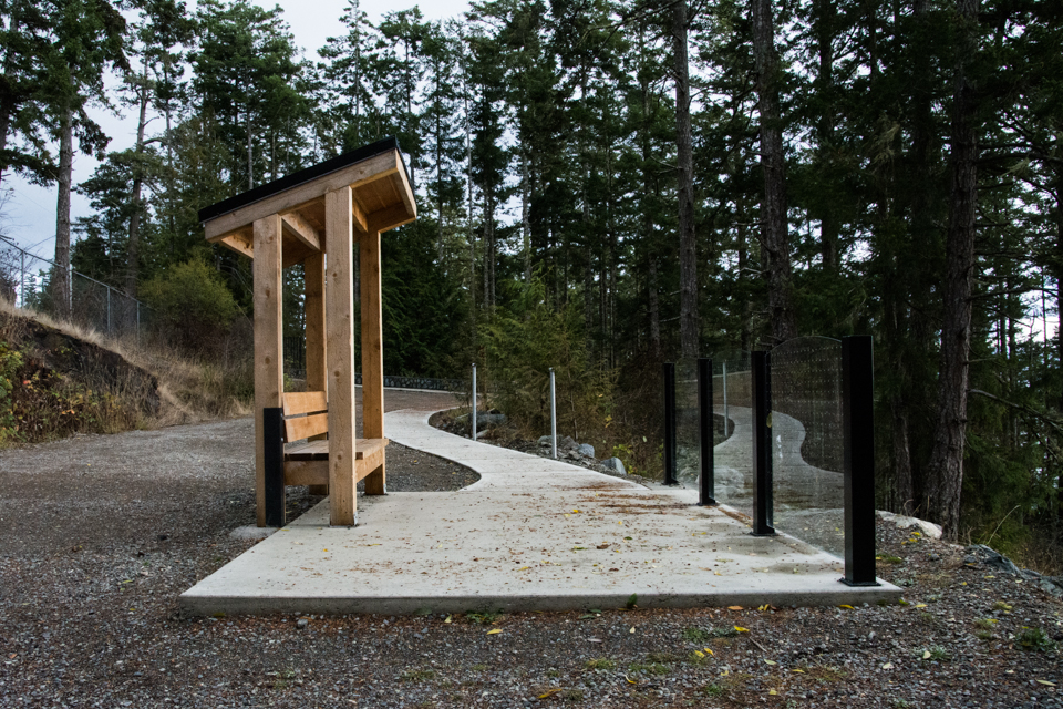
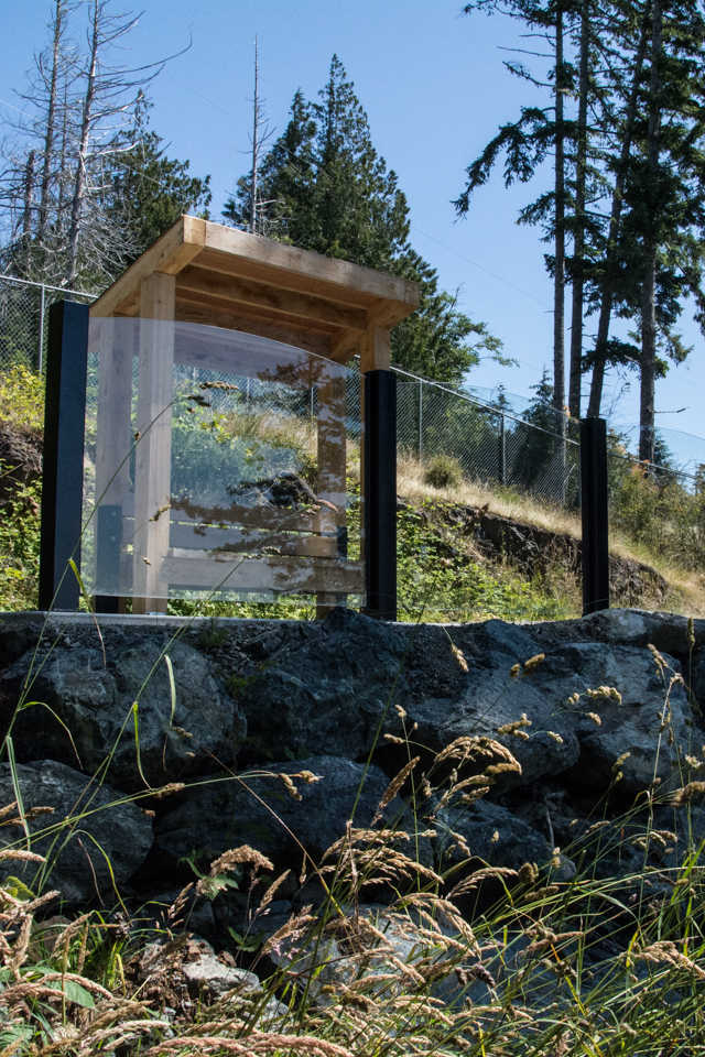
ACTIONS TAKEN: An area at the top of the site, near to the entrance gate was identified as a location for the viewpoint. The site was cleared, and a retaining wall made of boulders was constructed (due to steepness of the terrain). The area behind the retaining wall was filled and leveled, and a concrete pad poured on top to prevent erosion. A covered bench was installed as part of the platform. Instead of safety railings along the edge of the platform, glass panels were installed so as not to obstruct the view.
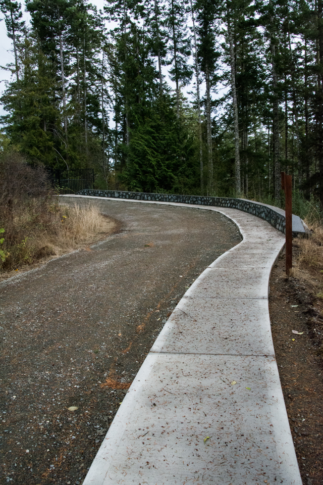
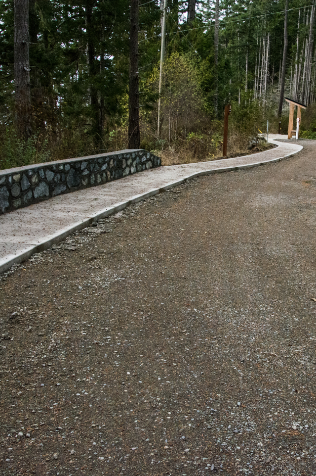
To access the viewing platform, a 3 ft wide concrete path was installed from the gate to the platform. This pathway connects seamlessly with the asphalt pull-off from the roadway, and will allow visitors requiring the use of wheelchairs or scooters (or other mobility aids) to access the platform. For safety, and to enhance the appearance of the site entrance, the existing wall made of concrete highway dividers was rebuilt and covered with a stone wall.
New Trails to Viewpoints
RATIONALE AND HERITAGE CONTEXT: While public access to all parts of the lighthouse site would be preferable, the reality is that some areas are simply too dangerous (cliffs or dropoffs), or are inaccessible due to the rough terrain, flooded areas, or overgrown vegetation. In addition to the causeway access to the Lighthouse structure, there are two natural viewpoints along the foreshore at both the east and west corners of the site. Both were inaccessible. However, despite the difficulty of access, some visitors continued to try and access these viewpoints (with varying degrees of success). It was decided that, to enhance the visitor experience at the site, trail spurs would be constructed to each of the viewpoints, making them accessible.
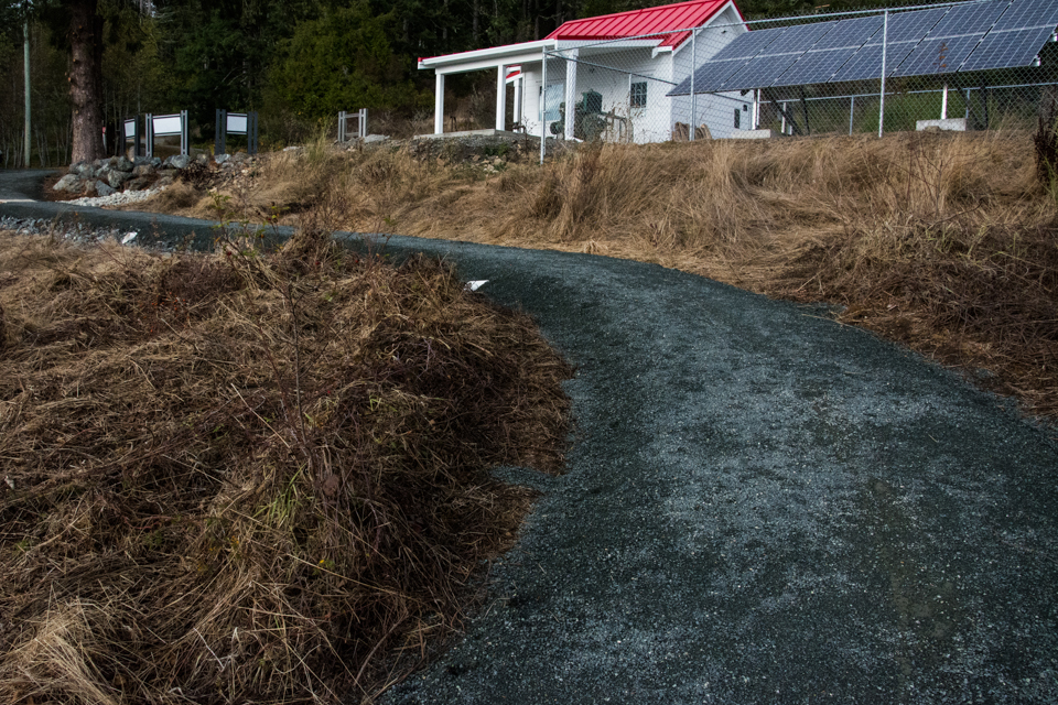
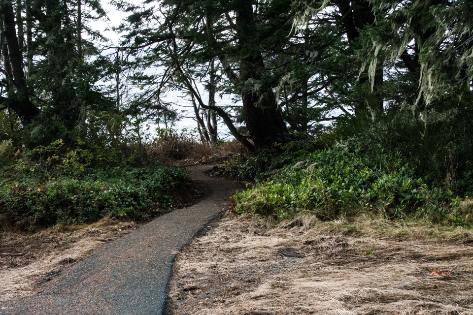
ACTIONS TAKEN: Routes for the two trail spurs were determined by the project manager. The eastern spur starts at the interpretive plaza, traverses the north and eastern edges of lower field (which, in winter, is largely a flooded area) and ends at a clearing just above the cliff edge at the eastern corner of the site. The western spur starts at the interpretive plaza, uses the existing driveway to just south of the electrical shed, then winds its way south-westward, through the trees to a viewpoint (among the trees) just above the cliff edge.
The lower part of the western trail encroaches slightly into the neighbouring property (currently owned by the Government of Canada, but pending a transfer to the T’Sou-ke First Nation as part of their Treaty negotiations). Prior to building this trail the T’Sou-ke First Nation was consulted and their agreement secured.
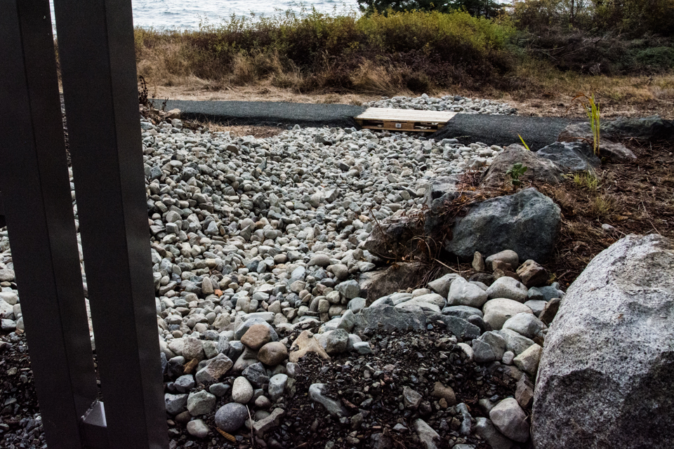
As the eastern trail passes through some extremely wet terrain (in winter), it was decided that a more substantive base, with several culverts, including a central drainage channel would be required. Accordingly rather than building these trails by hand (as with Jennie’s Trail), a Bobcat and backhoe were used to clear the trail route, lay the gravel base, place the culverts and then level and apply a top gravel layer. This work was done by 4M Bobcat and Trucking.


