The following map is a link to Google Maps, showing the local area. You can zoom in closer or zoom out, using the +/- buttons at the bottom.
Caution: Be sure to use Sheringham Point Road to access the parking lot. DO NOT FOLLOW GOOGLE’S ON-LINE (VERBAL) DIRECTIONS TO THE LIGHTHOUSE, AS THEY DO NOT TAKE YOU TO THE PARKING AREA.
Follow these directions:
Take Highway 14 (Sooke Road/West Coast Road) through Sooke;
About 18.3 km past downtown Sooke (18 minutes) turn left on to Sheringham Point Road (just past the fire hall, at Shirley Delicious);
Follow the signs on Sheringham Point Road for 1.7 km to the Lighthouse Parking Lot;
Take the trail from the parking lot to the Lighthouse Site gate (about 120 m).
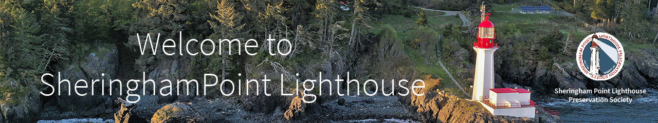
SHERINGHAM POINT LIGHTHOUSE - Site Map
The following map shows the routing of the trail from the parking area to the lighthouse…
Comments are closed.
SITE OPEN HOURS
9:00 am - 7:00 pm
MESSAGES FOR VISITORS
LOST & FOUND
Conditions at the site are currently variable. Please be prepared for changing, windy and wet conditions.
DONATION / MEMBERSHIP PAYMENT
Please choose one of the options below to make your donation or membership payment now.